
AGGREGATED MAPS OF AUSTIN
Early Freedman Communities of Austin
Austin Crane Map
Austin Skyscraper Map
Vision Zero Input Map (crowdsourced/pedestrian safety)
Travis County Sound Map
Food for Black Thought Food Map
SXSW 2016 Street Closure Map
Maplewood (historic) Map
Vice's City Guide to Austin/Map
Austin, Demolished (Spatialaustin)
Tejano Trail Map
COA Stray Pet Map
Butler Trail (from the Austin Trail Foundation)
Austin Chronicle Slacker Map (2001) / The Geography of Slacker (2014)
Austin Music Map
Downtown Austin Alliance Emerging Projects Map
Edwin Waller’s 1839 Plan of Austin
Molly OHalloran’s Map of Austin
Pedestrian and Bike Deaths Map
City of Austin Data Maps
City of Austin Interactive Map
City of Austin Hotel Map
City of Austin Off Street Parking Map
Austin Green Map
TreeFolks OpenTreeMap
Austin Tree Cover Map (click on the “Austin” link)
Austin Traffic Map/ Sigalert
Hill Country Map Viewer
Hill Country Night Sky, 1992
Austin Beer Map
Austin Urban Rail Maps
Lonely Planet Map of Austin
Mapping Domestic Migration (to/from Austin) via Forbes Magazine
City of Austin CIVIC Map
Capital View Corridors Map
Parts and Labor Neighborhood Map
Austin’s Sharing Resources Map
History Pins Map
Map of Austin, Alternate Histories
Austin Urban Neighborhood Map, 2011
Walking Tour of Historic Austin
Austin, 1839
Austin, 1873
Austin, 1877
Austin, 1919
University of Texas, 1907
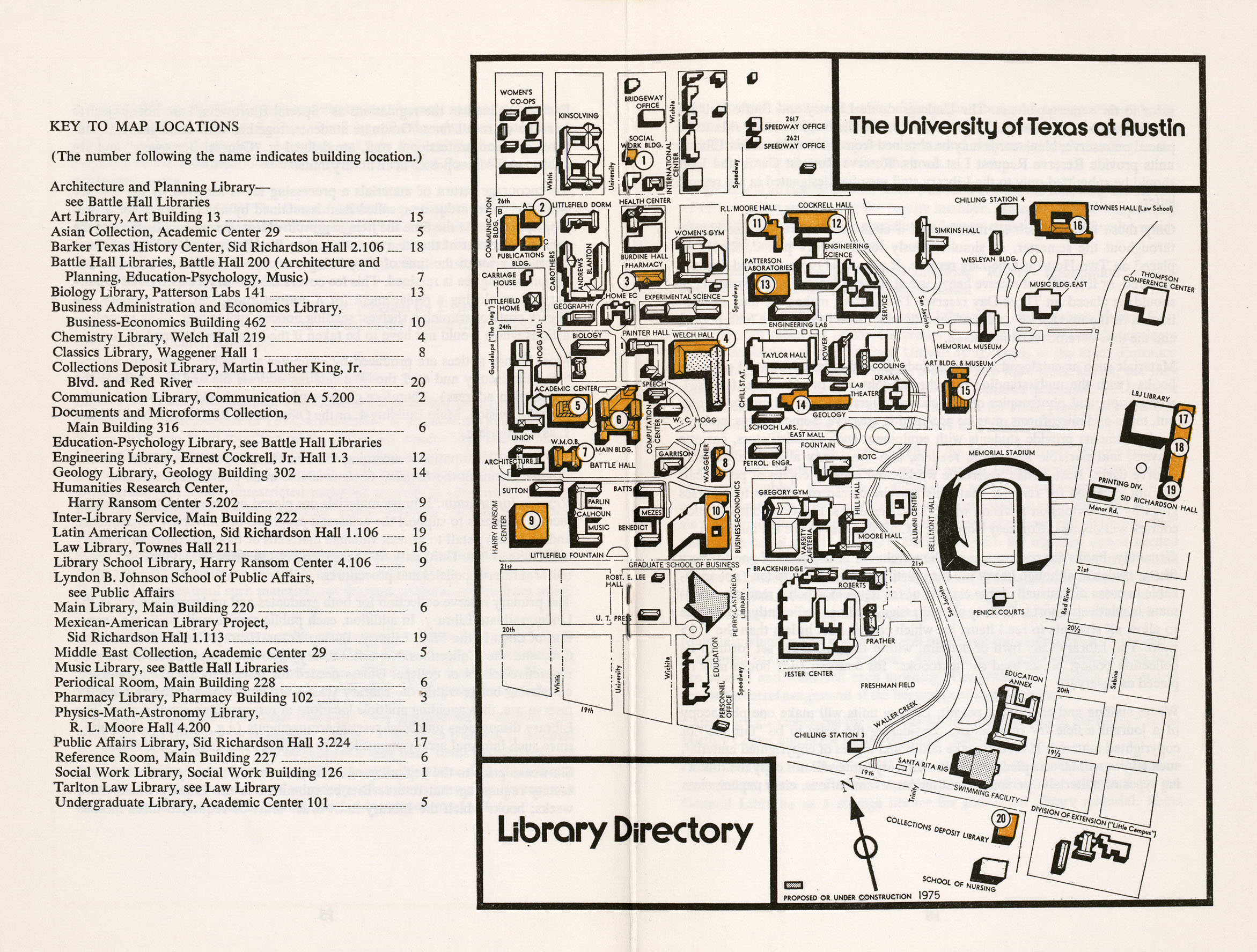
University of Texas, 1975
University of Texas Map of Accessibility, 2001
University of Texas Landmarks Public Art Program Interactive Map
Less Austin Specific:
USGS Historical Topo Maps